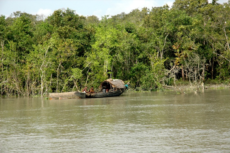
The Bengal Government has started using GPS and GIS to create real-time interactive maps of the Sundarbans region. These technologies would help keep a ‘smart’ eye on the entire biosphere – forest cover, land use, illegal activities, etc.
Global Positioning System (GPS) is a satellite-based radio navigation system that provides geolocation and time information to a GPS receiver while geographic information system (GIS) is a system designed to capture, store, manipulate, analyse, manage and present spatial or geographic data. GIS accuracy depends upon source data, and it is here that the accuracy of GPS comes into use.
The surveillance system implemented by the Forest Department uses GPS to capture the data and GIS tools (softwares) to analyse that data. The information being collected, which will be on a continuous basis, is helping the Government to keep track of detailed data on forest cover (number and types of trees, their exact locations, even information on trees cut down) and human habitation, nature of an area, locations of coves and bays, etc. Importantly too, all data would be updated on a real-time basis.
The Forest Department officials are using these data along with the existing ground maps to create a comprehensive database of the region. This method of data compilation would eventually be used to cover the whole of Bengal.
The Sundarbans forest in Bengal comprises of the Matla, Raidighi, Ramganga, Namkhana, Bakkhali and Bhagabatpur forest ranges. The mangrove cover comprises of 77,243 hectares and the wildlife sanctuary, 60,000 hectares. Eco-tourism is permitted on an area comprising of a little more than 27,000 hectares.
The data is also being made available for use by other departments. According to the Chief Conservator of Forests, Bengal, who is overseeing the whole project, the data would be a big help for departments like Tourism and Land and Land Reforms.


